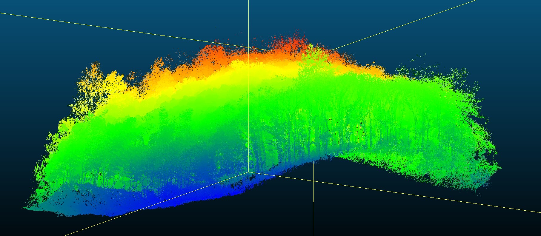
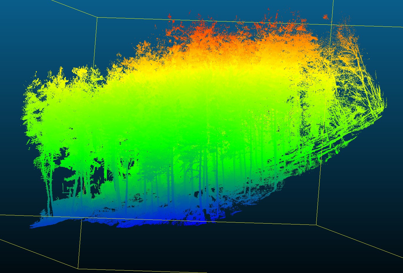
Ground-based LiDAR Data of Apricot Forest at Huailai Remote Sensing Experiment Station, CAS, Hebei
数据ID:L000030
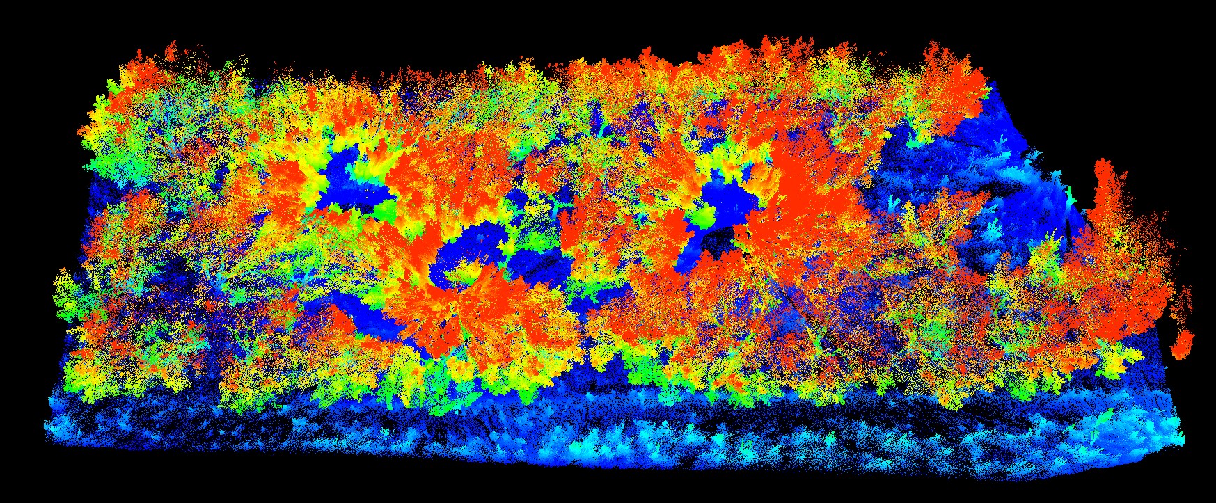
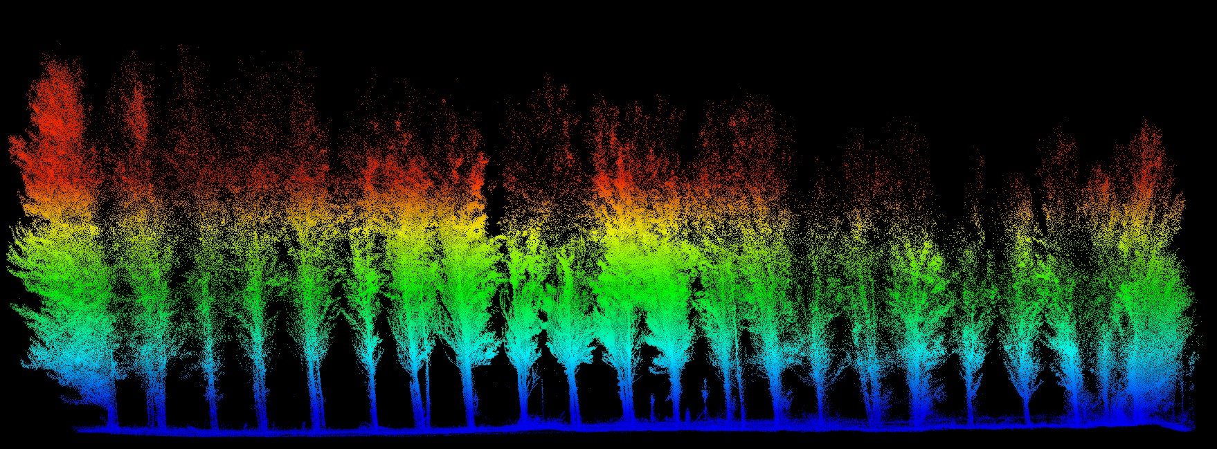
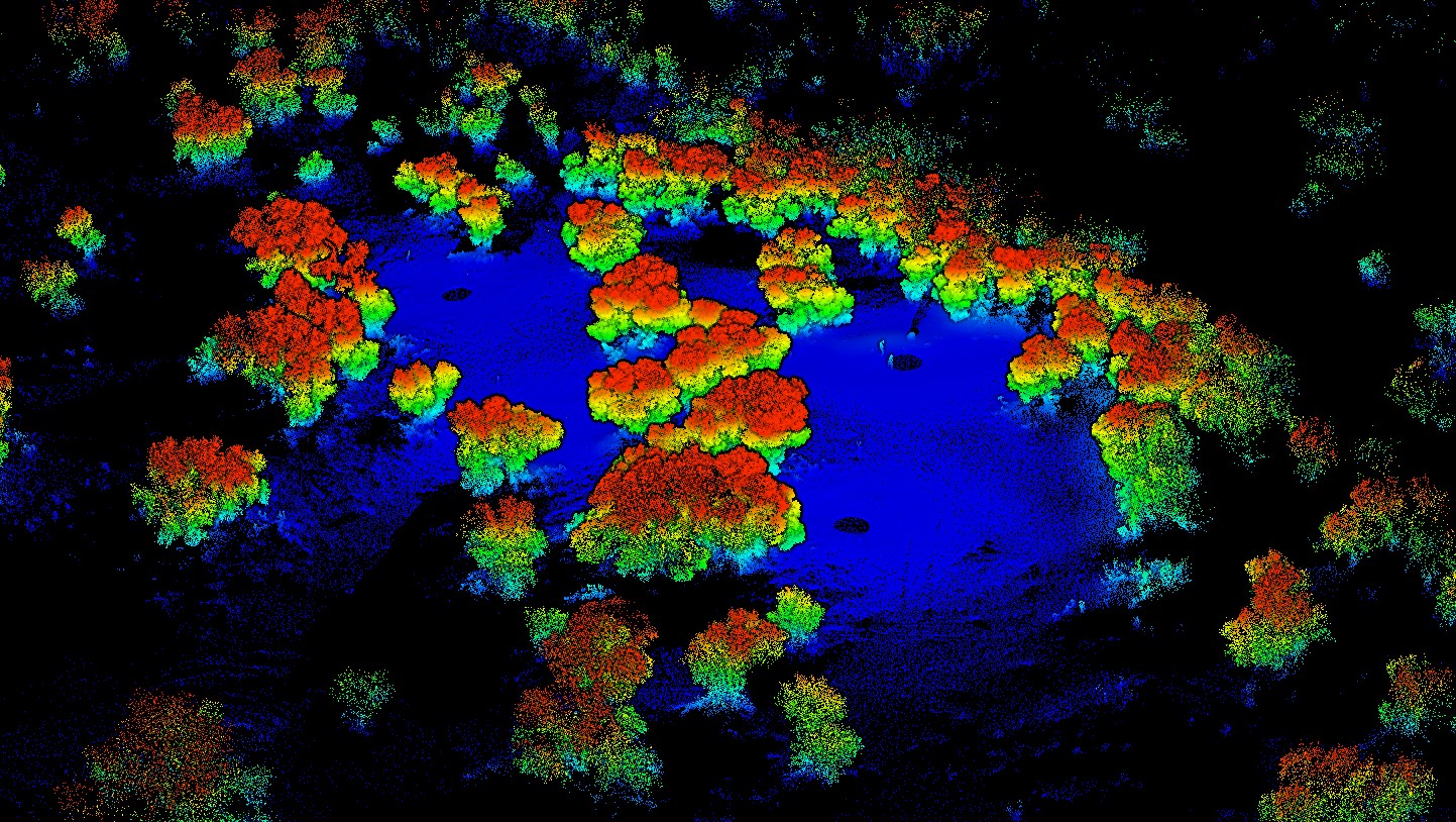
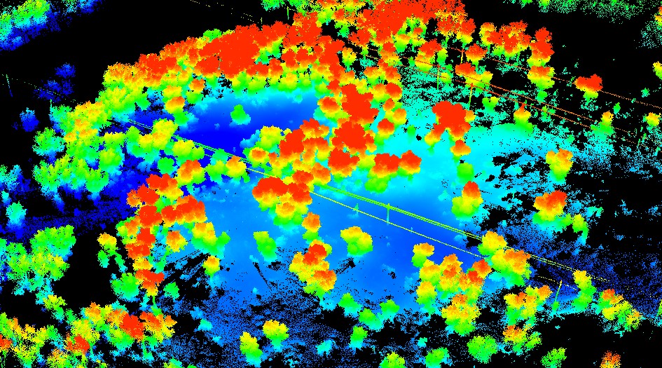
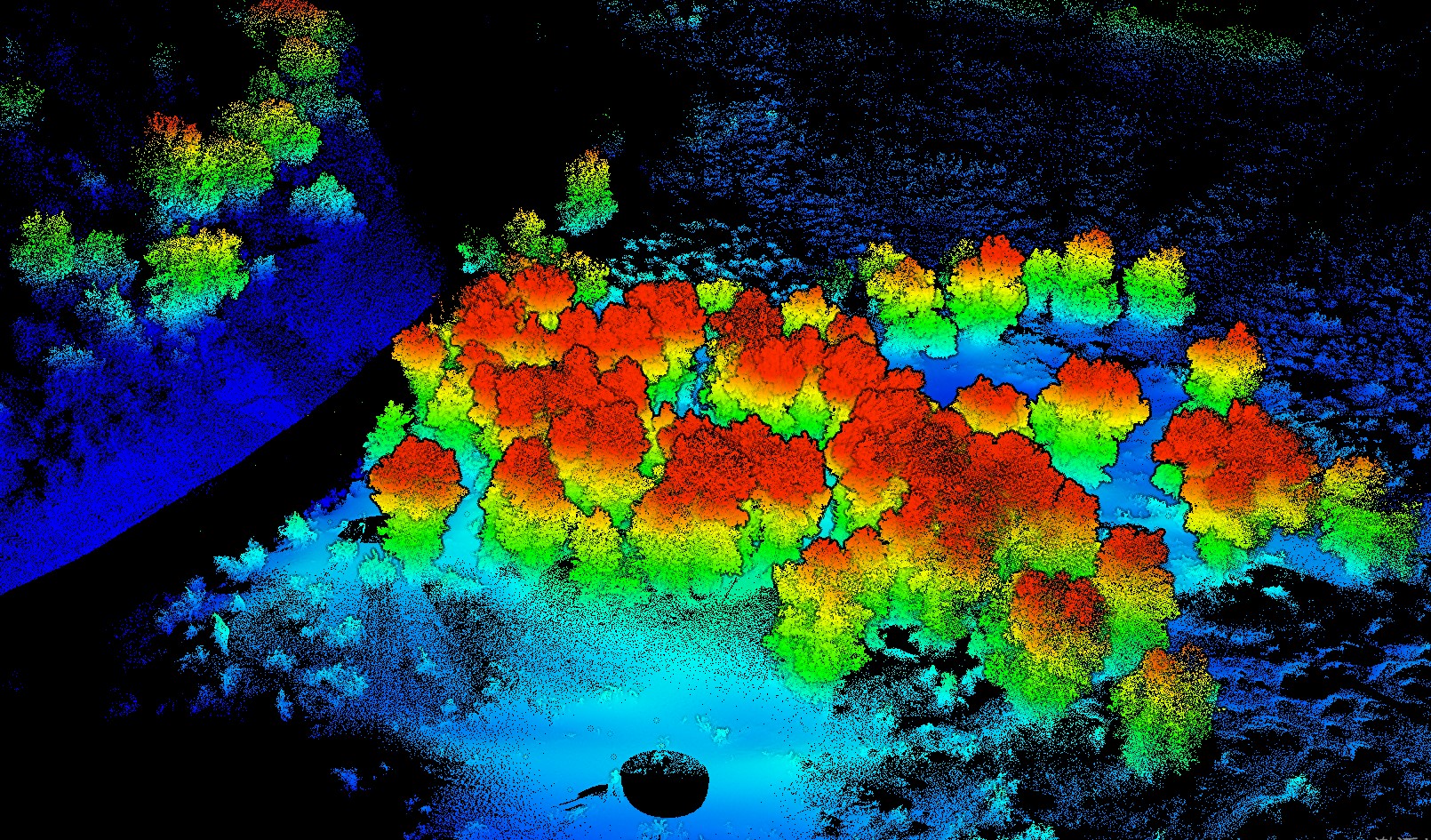
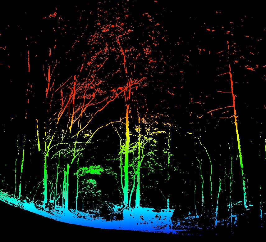
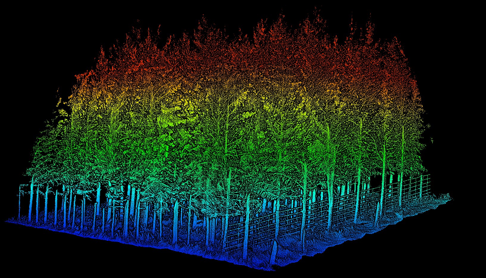
Ground-based LiDAR Data of Apricot Forest at Huailai Remote Sensing Experiment Station, CAS, Hebei, sourced from Beijing Normal University. Scanned on July 15, 2022, using the Reigl VZ1000 scanner. The plot covers an area of 0.07 hectares, characterized by plantation forest, with Prunus armeniaca as the dominant species.