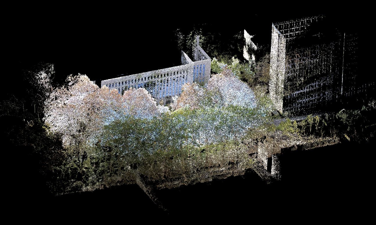
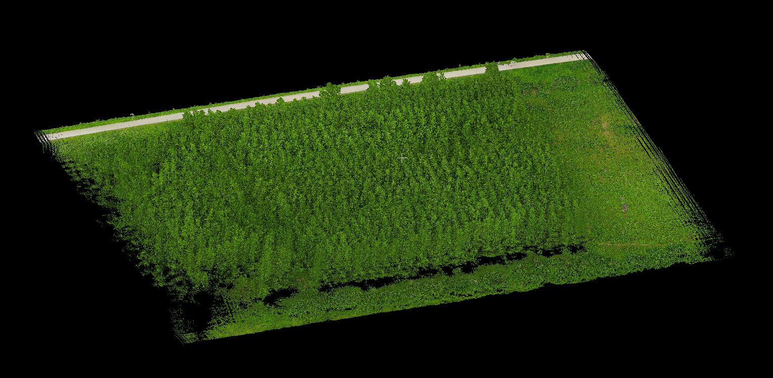
UAV LiDAR Data of the Vegetation Restoration Area in the Jinsha River Basin Open-pit Phosphate Mine, Yunnan
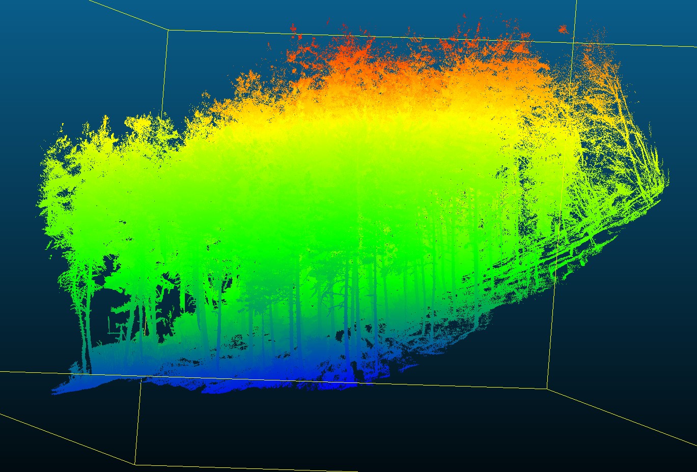
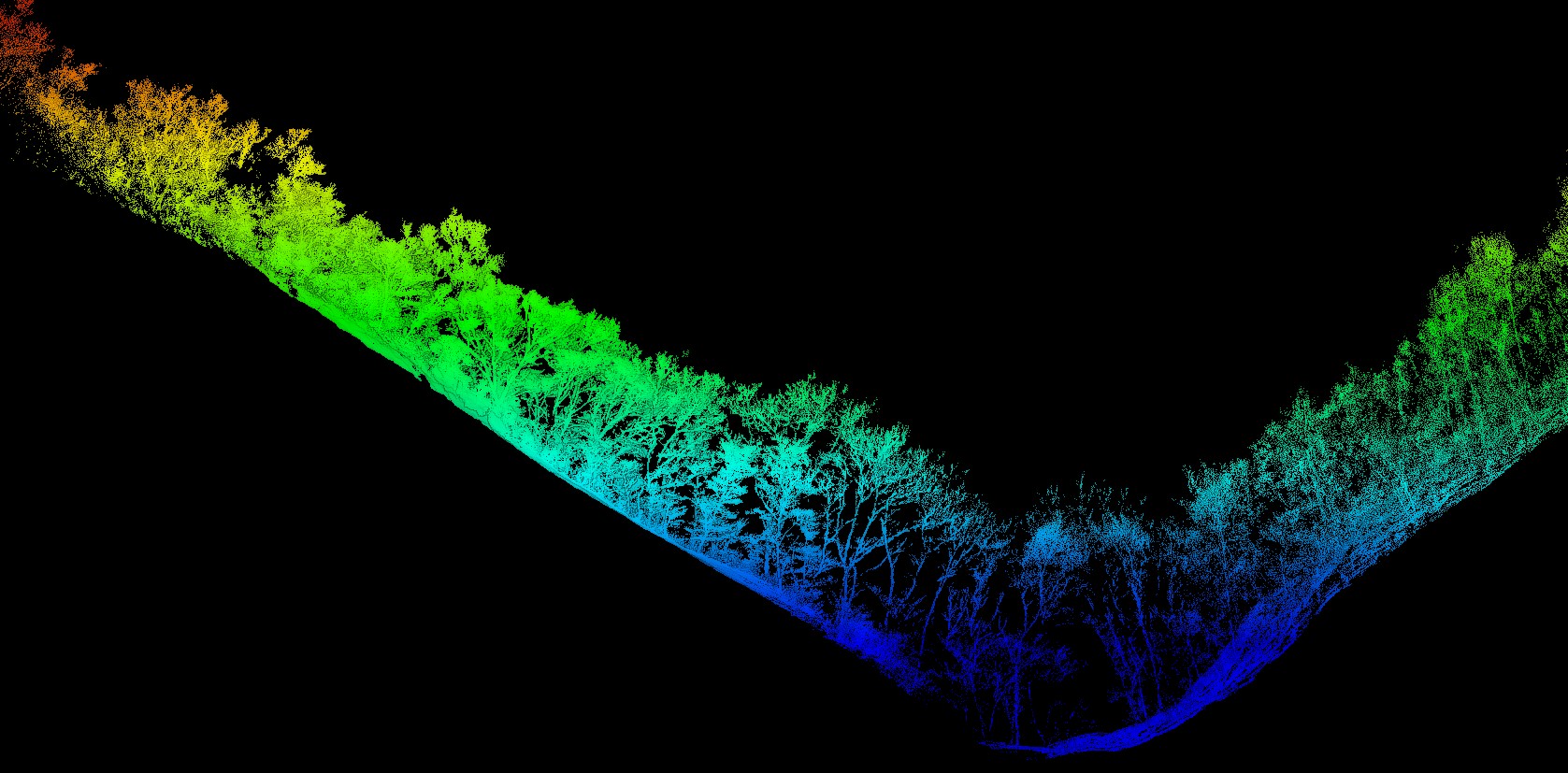
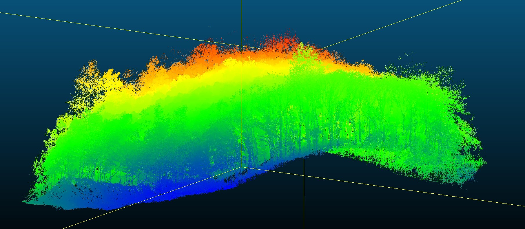
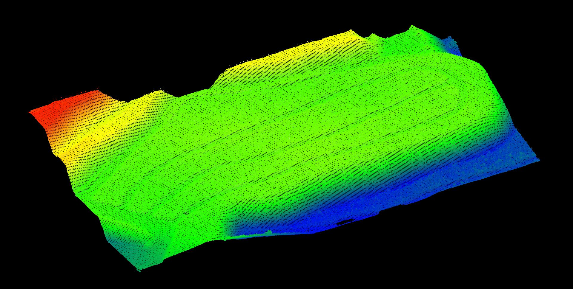
UAV LiDAR Data of the Vegetation Restoration Area in the Jinsha River Basin Open-pit Phosphate Mine, Yunnan, sourced from Yunnan Normal University, Yunnan Institute of Geological Sciences, and others. Scanned in July 2024, using a VUX-1LR22 scanner. The plot covers an area of 6 hectares, characterized by plantation forest, with Yunnan pine as the dominant species.