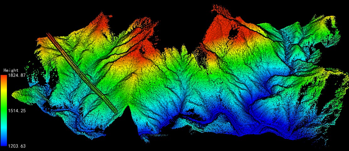
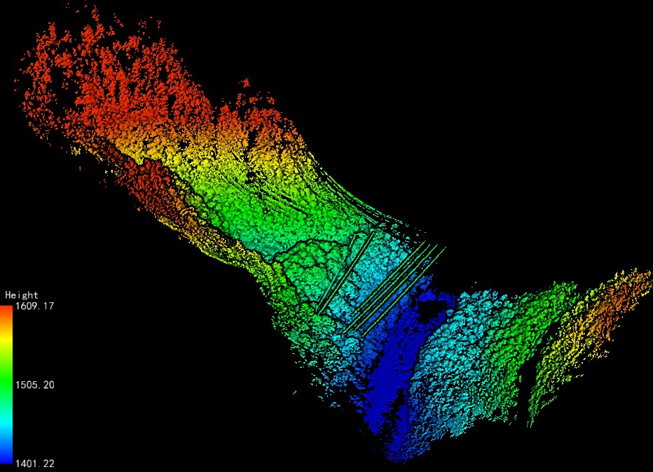
UAV LiDAR Data of Foping Natural Forest in Guanyin Mountain Area, Southern Slope of Qinling, Shaanxi
数据ID:L000116
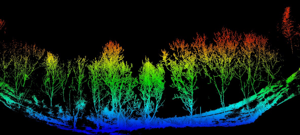
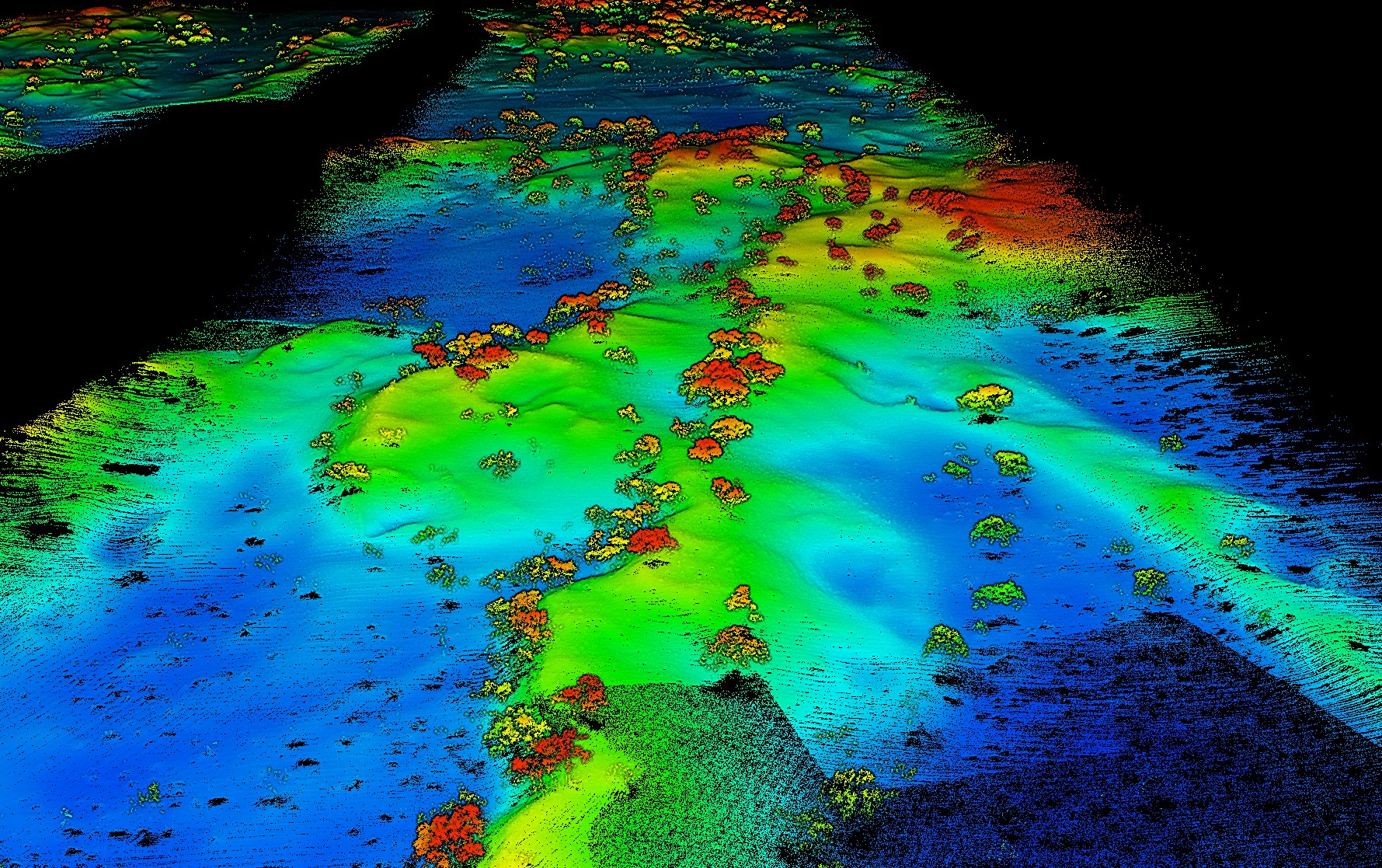
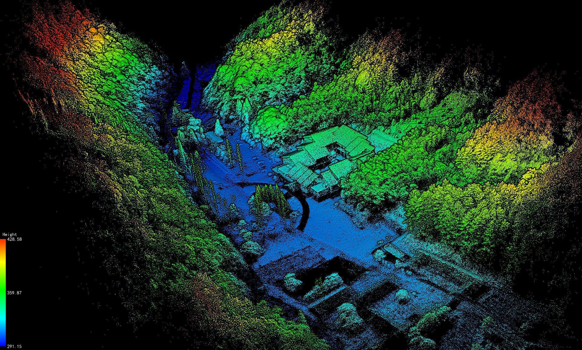
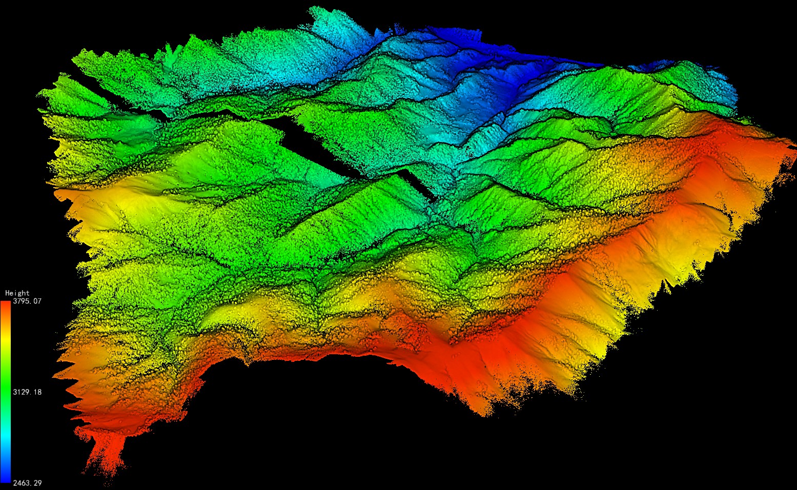
UAV LiDAR Data of Foping-Tianran Forest Area in the South Slope of Qinling Mountains, Shaanxi, sourced from Institute of Remote Sensing and Geographic Information Systems, School of Earth and Space Sciences, Peking University. The plot covers an area of 32 hectares, characterized by natural forest, with Masson pine and oak as the dominant species.