ALL
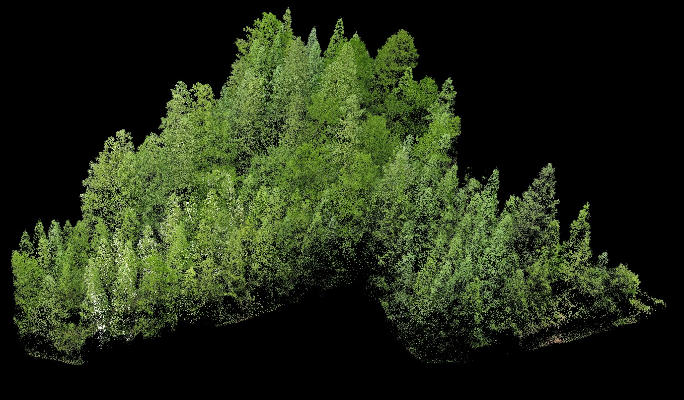
Home / Dataset / Vegetation Type / Forest / ALLUAV LiDAR Data of plantation forest in Zhongchao Town, Liping County, Qiandongnan Miao and Dong Autonomous Prefecture, Guizhou Province
Data ID:L000080
Get Data Scan Platform:UAV Vegetation Type:ForestBasic Info
Location:Zhongchao Town, Liping County, Qiandongnan Miao and Dong Autonomous Prefecture, Guizhou Province
Scan Time:2023.9
Data Sharer Info
Name:Zurui Ao
Affiliation:South China Normal University
Supplementary Info
Scan Area(ha):0.18
Number of Scanning Sites:1
Number of Plots:1
Data Format:las
Vegetation Origin:plantation forest
Registration:Done
Dominant Species:--
Ground Truth Data:Available
Instrument Model:--
Data Size (MB):94
Note:None
Data Reference
DOI:None
Paper Citation:None
Acknowledament for data support from LiDARNET:
·Chinese acknowledgment: 感谢激光雷达联合观测网络(http://lidar.pku.edu.cn)提供数据支持。
·English acknowledgment: We express our gratitude to LiDARNET (http://lidar.pku.edu.cn) for providing data support.
We attach great importance to the protection of intellectual property rights and also pay attention to the rights and interests of data authors and data service providers. Therefore, please clearly mark the data source, cite relevant references, and acknowledge LiDARNET in all research results produced using this data. In addition, we hope you will actively contact the data authors to inquire and explore more cooperation intentions.
We also encourage you to share your publicly available Lidar data or results to LiDARNET (email: lidarnet_contact@163.com) to communicate with more researchers and establish possible collaborations.
Your understanding and cooperation are our greatest encouragement and support!