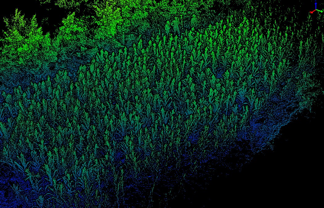
Handheld LiDAR Data of Corn Field in Xin'an County, Luoyang City, Henan
数据ID:L000091
Handheld LiDAR Data of Corn Field in Xin'an County, Luoyang City, Henan, sourced from Aerospace Information Research Institute, Chinese Academy of Sciences. Scanned on 2022.7.20, using the Pegasus 100 scanner. The plot covers an area of 0.06 hectares, characterized by plantation forest, with corn as the dominant species.